Tracked Barrier Map
Photo Classification Tool
0 classifications submitted
The Barrier Tracker App


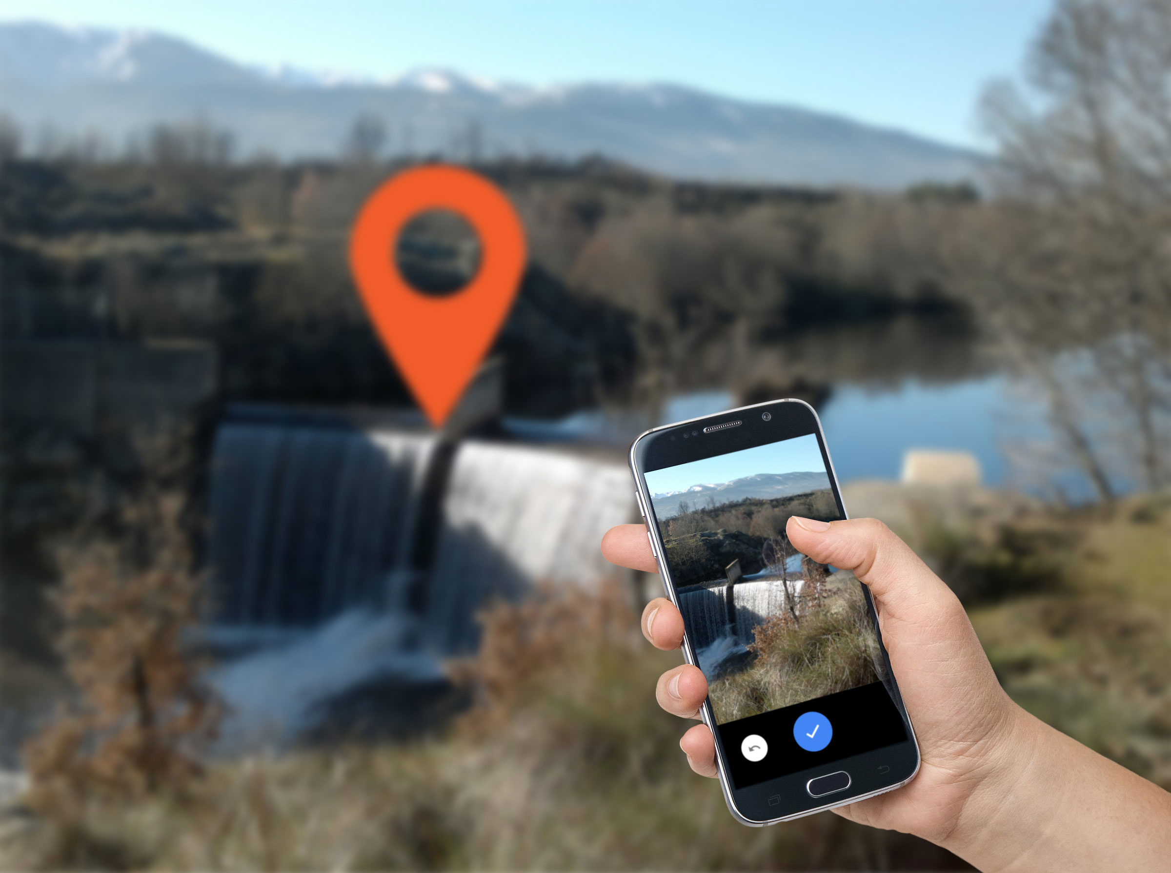
Locate a Barrier
Seen any barriers near you?
Go out and use the Barrier Tracker app!